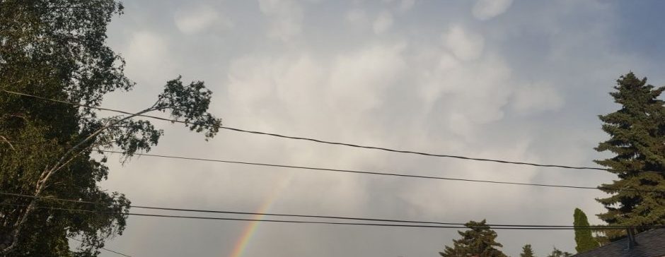
All the way since the last part of August, we’ve been stuck in a hot, blocked pattern. Changes are happening now, and we are transitioning into a less volatile, cooler pattern.
Back on Saturday, we had a high of 1.8, about 4 degrees away from a record? When was the last time we were 4 degrees away from a record? In short, it’s been a while. Now I’m thinking that this was not a one-off, but a sign that we are finally exiting our hot, blocked-up pattern. Why? Siberia.
As I’ve mentioned a few times recently, there has been lots of snow in Siberia over the last few weeks. This creates a mass of cold air. South of Siberia, in the west Pacific, China, and Japan; all the way to the Philippines, it has been warm. This creates a strong temperature inversion, giving rise to a fast zonal jet stream. From the Pacific all the way to here, we have been very block-filled, but this fast jet stream has been slowly breaking them up. As well, the north Pacific has been cooling very fast recently, meaning the jet stream is going to want to be further south here.
What does that mean? Well, we are leaving the blocked pattern behind, and moving into a cooler pattern, with a more zonal jet stream. This means we will get short, weak heat waves with frequent weak-to-moderate cold waves.
Finally, to the forecast. We are warm today, average Friday through Sunday, then slightly cool to start the next work week, but maybe warmer near the end. There has been evidence of a cold wave coming for the last week of the month, but I’ll save that for a post next week if it persists.
