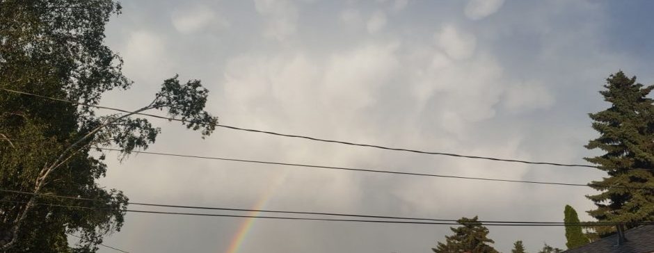
The July heat was back on today with a near 30 high, but tomorrow, we might actually end up below average.
Today was brought a high about a degree and a half away from 30, but it’s actually ended up pretty windy. That combined with the haze means it feels significantly cooler then the actual temperature. These northerly winds will continue tonight and into tomorrow morning, where they will begin to bring much cooler air. Tonight’s low will be a few degrees above normal, but then tomorrow the temperature will probably stay under 20 the whole day. The average high for September 4 is 20.3, meaning this will likely be the first below average high since August 21!
In terms of smoke, it’ll stay pretty bad (AQI well above 100 paired with an air quality warning) for tonight, but tomorrow it seems the winds might bring clearer air. It won’t be completely smokeless, but Thursday afternoon into the weekend will be very clear.
Looking ahead, I would say into the weekend we’ll warm back up to at a maximum a little below what it was today, and smoke will probably stay out of the area until at least Sunday or Monday.
