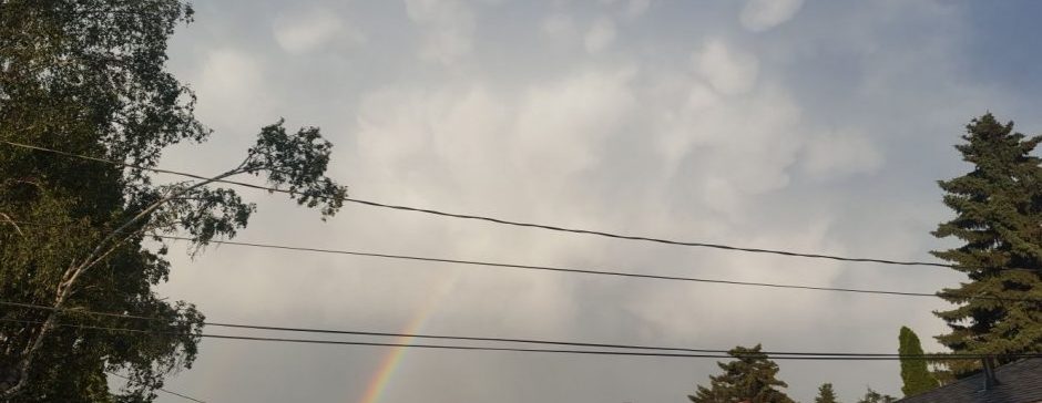
If you remember all the way back to the August outlook, you may remember I was saying near the end of the month, or maybe in early September, there could be a pretty big heat wave. Well, look at where we are now. I guess AccuWeather’s temperature forecast 5 weeks ahead is more reliable than GFS’s precipitation forecast for the next 3 hours.
Right now, as you read this, (If you are reading before Saturday evening) there is a rex block setting up in the Pacific. If you don’t know what a rex block is, it’s pretty much a blocking system where a high sits on top of low, and the jet stream makes a backwards S shape. The rex block itself doesn’t really affect us, but it’s what happens after it that does: The low becomes a cut-off. This is very similar to what we had at the end of July, if you remember that. Just like then, the cut-off low makes the jet stream go really far north, and we heat up quickly.
This pattern is expected to hold for basically a full 5-8 days starting Sunday. The cut-off low looks like it will actually reconnect to the jet stream through the help of another low late next week, and will probably bring an abrupt end to the heat wave right around the end of August or start of September.
I would expect the heat wave to peak on Wednesday or Thursday, with highs likely pushing towards the 30s. Heat records are possible, but not super likely. I would say maybe a 50/50 chance.
Anyways, that’s it for now! Another update on Sunday or Monday!
