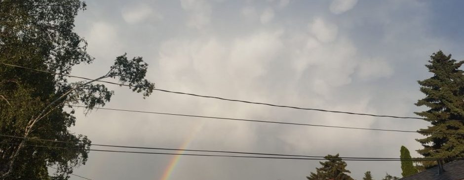
The heat is trying to come, but yet another low is going to block it. This low is actually the one that brought an atmospheric river to the west coast. This low is going to go a lot more north than the last few, meaning most of the precipitation will land in northern Alberta.
Let’s take a look at what the next few days will be. Stating today, it seems we are going to reach a high of 27 in a handful of hours. Sometime tonight, a cold front is expected to come through, and may bring a thunderstorm with it. I’m not sure if it’ll be in the evening, or later. The low is passing over northern Alberta, but it will still be cloudy here. Tomorrow will contain quite a cloud cover, but not the least broken up one. In the afternoon tomorrow and into the evening, it seems some showers and storms rolling off the foothills could come through. After that, me might end up pretty clear. For Wednesday, expect a high in the high teens or near 20, and the same for Thursday. On Thursday, some of the winds from the low might actually get us pretty breezy and gusty, so it could feel a lot cooler on Thursday than tomorrow.
Looking ahead, it does seem another warmup is on the way. More about that in a post tomorrow or Thursday!
