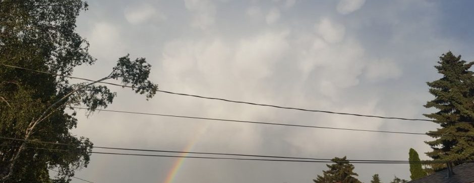
Rain and thunderstorms will move through the area over the next 60ish hours. Accumulation will vary, but is expected to reach 10+ mm.
Starting off today, we may see some possibly severe thunderstorms this afternoon or evening. A low is currently developing over south-central Alberta, and will bring some slow-moving thunderstorms. Tonight, some rain will position itself near Hwy 16 west of Vegreville. This rain will be moderately heavy, and will continue through tomorrow morning. Overnight tonight, we can’t rule out a surprise thunderstorm. During the day tomorrow, it seems the precipitation will arrange into some wrap-around, as the low causing all this moves into central Saskatchewan. This wrap-around precipitation will stem from near Battleford, go up to Slave Lake, then down around to Drayton Valley or Rocky Mountain House. This does seem it will slow down rain here a bit, meaning we may only see a few showers tomorrow night. On Friday as the low continues eastward, we will see the wrap-around rain come to us, with some possible imbedded thunderstorms. The precipitation is expected to be over by Saturday morning.
So, how much accumulation are we talking? I would say we’ll have a baseline of ~10 mm. That is from the rain after tonight. How much we actually get though heavily depends on if we get hit by storms. If we don’t, 8-15 mm it is. If we instead get hit by a severe thunderstorm today, and another storm on Friday, then we could see well above 50 mm. It really depends on where the storms are.
One more thing; temperatures. Today is 27 (probably), tomorrow near to slightly below 20, and Friday a few degrees above that. After that, we are expected to return to mid 20 highs for the weekend and early next week.
